

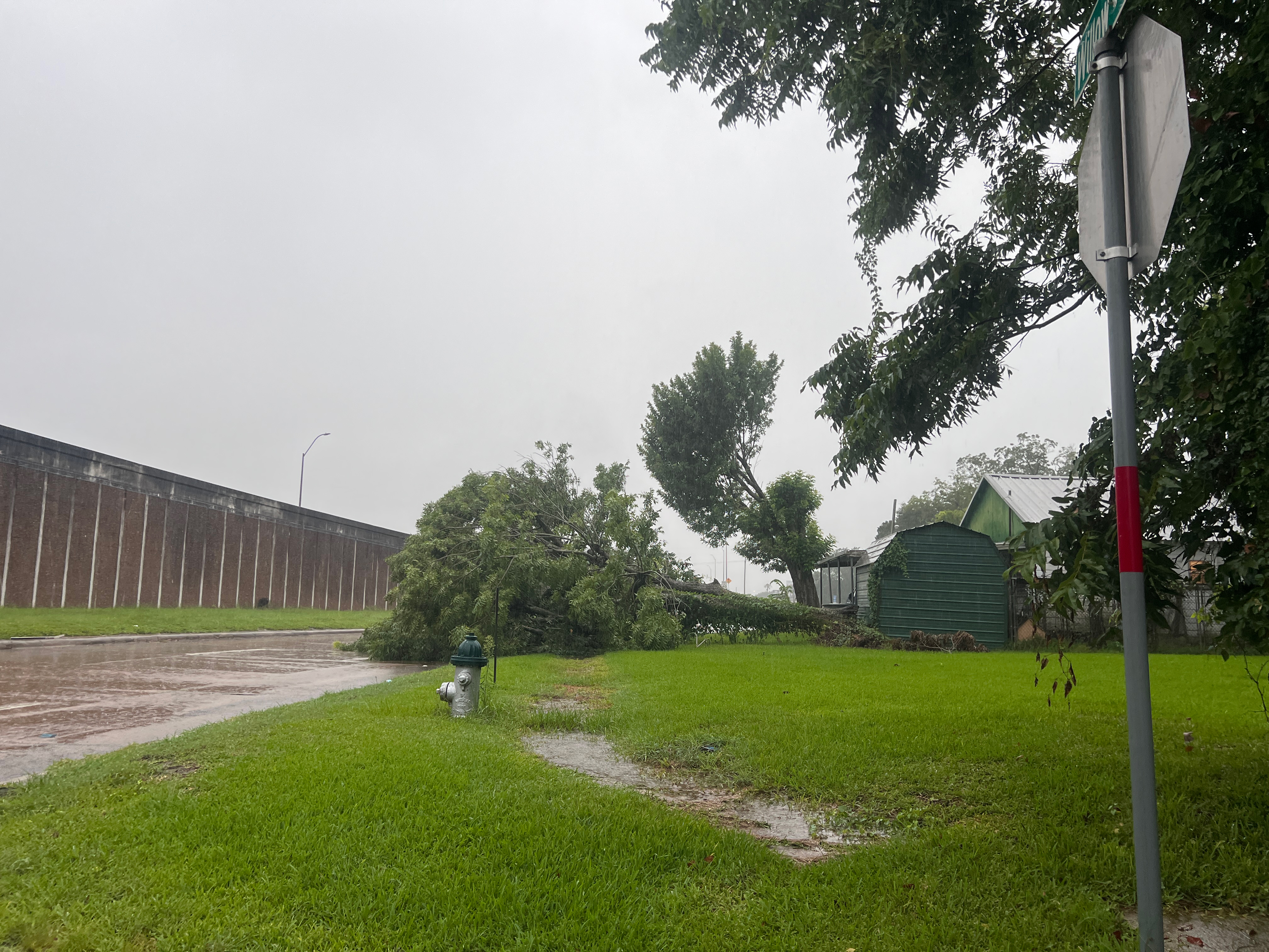
A Flash Flood Warning issued by the National Weather Service (NWS) in Lake Charles early July 14 warned residents of rough skies. When the storm subsided, Southeast Texans were left with flooded roads, wrecked vehicles, and scores of downed trees.
According to the NWS, the Flash Flood Warning showed the highest potential impact to northeastern Jefferson County.
“At 5:51 a.m., Doppler radar indicated thunderstorms producing heavy rain across the warned area,” NWS reported. “Up to 3 inches of rain have fallen in the past hour. Flash flooding is ongoing or expected to begin shortly.”
The warning was in effect until 9 a.m.
“Flash flooding of small creeks and streams, urban areas, highways, streets and underpasses, as well as other poor drainage and low-lying areas,” was expected, NWS reported. “Some locations that will experience flash flooding include Beaumont, Port Arthur, Nederland, Port Neches, Central Gardens and Southeast Texas Regional Airport.”
.