

At 4:00 PM CDT (2100 UTC), the eye of Hurricane Laura was located near latitude 27.9 North, longitude 92.8 West. Laura is moving toward the northwest near 15 mph (24 km/h). A turn toward the north-northwest and north is expected tonight, and a northward motion should continue on Thursday. A northeastward to east- northeastward motion is expected Thursday night and Friday.
On the forecast track, Laura will approach the Upper Texas and southwest Louisiana coasts this evening and move inland within that area tonight. The center of Laura is forecast to move over northwestern Louisiana tomorrow, across Arkansas Thursday night, and over the mid-Mississippi Valley on Friday. Reports from an Air Force Reserve hurricane hunter aircraft indicate that the maximum sustained winds have increased to near 145 mph (230 km/h) with higher gusts.
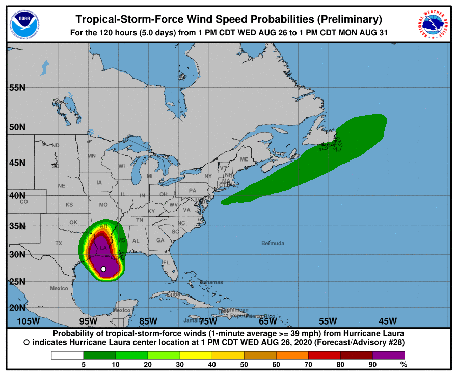
Laura is an extremely dangerous category 4 hurricane on the Saffir-Simpson Hurricane Wind Scale. Some additional strengthening is possible this evening before Laura reaches the northwest Gulf coast overnight. Rapid weakening is expected after Laura moves inland. Hurricane-force winds extend outward up to 60 miles (95 km) from the center and tropical-storm-force winds extend outward up to 205 miles (335 km). The latest minimum central pressure reported by an Air Force Reserve reconnaissance aircraft is 947 mb (27.97 inches).
Laura